

Low Water at Mouth of Mississippi Prompts Action to Protect Drinking Water
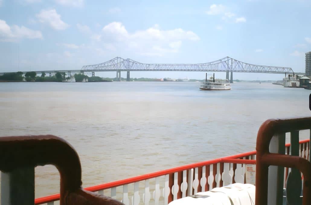
NEW ORLEANS — Low water at the mouth of the Mississippi River has the U.S. Army Corps of Engineers building a “sill” or underwater levee to prevent salt water from intruding into the drinking water supply of New Orleans and surrounding communities.
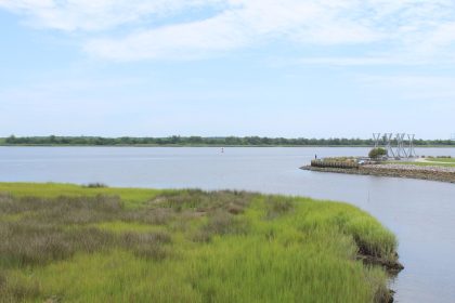
The intrusion of salt water into the river is a naturally occurring periodic condition because the bottom of the riverbed between Natchez, Mississippi, and the Gulf of Mexico — a distance of about 364 miles, 171 miles of which is north of New Orleans — is below sea level.
Under normal conditions, the downstream flow of the freshwater river prevents significant upriver progression of the salt water.
But in times of extreme low volume water flow, denser salt water moves upriver along the bottom of the river beneath the less dense fresh water flowing downstream, threatening drinking water and other municipal water supplies.
Matt Roe, a spokesman for the U.S. Army Corps of Engineers, New Orleans District office told The Well News via email that without the underwater sill the salt water wedge would continue to progress, and this could affect drinking water supplies further upriver.
“Based on the current forecast and construction schedule, we expect that we will hold the toe of the saltwater wedge to prevent excessive salt levels at the Belle Chasse water intakes,” Roe said.
Belle Chasse is about six miles due south of the French Quarter of New Orleans by land, though the distance is a bit further by water, thanks to the meandering nature of the rover.
Saltwater has already reached the intakes of the Boothville water plant in Plaquemines Parish (downriver from New Orleans), driving up the amount of sodium and chloride, the two minerals that make up salt, in water going to homes and businesses in the southern part of the parish’s west bank.
As a result, the parish issued an advisory to residents who may be on dialysis or low-sodium diets and subject to sodium and chloride restrictions.
The parish and the Governor’s Office of Homeland Security and Emergency Preparedness are also distributing water and ice in communities already feeling the impact of the salt intrusion.
“In addition to the communities in Plaquemines Parish there are many industrial sites along the river which also use water from the river,” Roe said. “As the saltwater wedge moves upriver it limits the ability of municipal and industrial water treatment facilities as they are not equipped for desalinization.”
The decision to build an underwater sill announced Wednesday marks the fifth time since 1988 that the Corps has undertaken such a project. Sills were also built in 1999, 2012, and 2022.
“River flows this spring were high enough, above 300,000 cubic feet per second, to wash away the sill that was built last fall. This is the first-time conditions have been low enough to require the sill construction in back-to-back years,” Roe said.
The decision to construct an underwater sill is trigger-based. When forecasts indicate the saltwater toe will reach river mile 65 within 10 days, or indicating the toe will reach river mile 80 within 28 days, the Corps begins the procedure to start construction while coordinating with other federal agencies and our local partners.
“At this time we’ve hit both of those triggers so the process has begun,” Roe said.
The underwater sill will be built at approximately mile 64 above Head of Passes to catch the “toe,” or leading edge, of the wedge of saltwater.
Head of Passes is the point where the main stem of the Mississippi River branches off into three distinct directions at its mouth in the Gulf of Mexico
From the toe to the top of the saltwater wedge is 15 to 25 miles. “As you progress from the toe to the top of the wedge, you’ll see more saltwater in the water column,” Roe said.
In a press release the Corps said the barrier will take approximately two weeks to complete, though the flow of salt water is expected to be arrested long before then.
During the project a contractor will dredge sediment from a designated area of the river and create a 1,500-foot wide, 45-foot-high sill to block the leading edge of the salt water from moving upstream.
“We have coordinated closely with our state and local partners as well as incorporated lessons learned from last year’s low-water season,” said Col. Cullen Jones, commander of the USACE New Orleans District office, in a written statement.
“We are confident we will see the same level of success with this saltwater barrier that we achieved with previous efforts,” he said.
Roe said that while the Corps does not see the same navigation issues during low water as they do upriver, due to the depth of the river here, the construction site for the sill is selected, in part, to minimize deep draft navigation impacts.
“The location of the sill reaches a maximum depth of approximately 90 feet below sea level, so the sill elevation equates to an approximate physical construction of 40 to 45 feet in height using dredged sediment,” he explained. “The Corps of Engineers will work closely with the Coast Guard and navigation industry to reduce impacts during construction and operation of the sill.”
Roe said water flows on the Mississippi River in South Louisiana are determined by rainfall and snowmelt across the Mississippi River Valley, from Montana to New York — an area encompassing about 41% of the country.
“Based on the amount of precipitation across the valley during the winter and spring the river flow today is below the 300,000 cubic-feet-per-second needed to keep the saltwater from intruding into the river,” he said.
As of Thursday morning, the Mississippi River was at 2.7 feet at the Carrollton Gage in New Orleans.
“The lowest recorded height on that gage is 1.6 feet in 1872,” Roe said. “In the modern era there was about six months of low water at the Carrollton Gage in 1988 with the elevation lows of less than one foot.
“The long-range forecast from the National Weather Service indicates the river will continue to remain low for at least the next 28 days,” he added.
Roe went on to explain that when discussing gage elevations, what one is referring to is height of the water above sea level, not the depth of the river. The lowest point in New Orleans in the river is about 190 feet deep.
Despite the current flow rate and elevations being low, Roe said he and other officials continue to emphasize that the river is not safe for recreational use or exploration of areas on the river side of levees.
“For instance, today, Thursday, the flow rate in New Orleans is just over 200,000 cubic feet per second. That is a flow rate of about 1.5 million gallons per second of water flowing. By comparison, the Potomac River has an average flow of 11,500 cubic feet per second.
“When we are in high water the flows can get up to 1.25 million cubic feet per second, or more than 9 million gallons a second. It is much more obvious that the river is dangerous then, but it is still unsafe at low flows,” he said.
Dan can be reached at [email protected] and at https://twitter.com/DanMcCue