
FCC Makes Progress on Broadband Maps

WASHINGTON — The Federal Communications Commission has taken a large step in creating its newest and most accurate broadband maps that intend to lay out, location by location, the homes, businesses, civic centers and other places without internet.
“For the first time ever, we have collected extensive location-by-location data on precisely where broadband services are available, and now we are ready to get to work and start developing new and improved broadband maps,” Chairwoman Jessica Rosenworcel said in a statement.
This comes as the commission is tasked with creating its most in-depth broadband map to utilize billions of dollars Congress appropriated for the buildout of high-speed internet infrastructure. The commission reached out to 2,500 broadband providers, asking precisely where they provide broadband services, allowing the commission to build a more detailed map.
The commission’s current broadband map has drawn criticism because it goes by census block. So, if even one home or business in a census block has internet, the commission’s current map shows that block has internet. This has made it difficult to get federal resources to people and properly connect everyone to the internet.
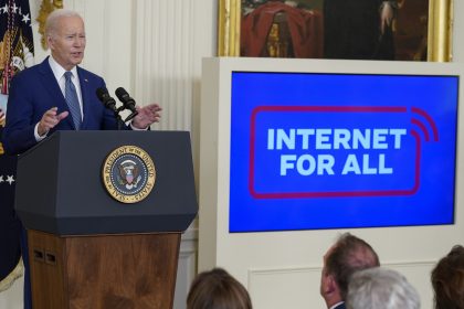
The commission’s new map will largely determine the amount each state receives to implement the $48 billion Broadband Equity, Access, and Deployment Program, which is intended to help every state, territory and Washington, D.C., connect its residents to the internet.
This week the Department of Commerce’s National Telecommunications and Information Administration started giving out money set aside for creating five-year plans to connect every American to the internet.
Louisiana, which was the first state to receive its nearly $3 million planning grant, already has done extensive broadband mapping, and is hoping its findings match up to the federal government’s to get an estimated $1 billion for broadband buildout, according to Gov. John Bel Edwards.
Thursday was the deadline for the country’s broadband providers to give the commission information on where they do and do not provide internet service. The commission compiled that information to create what it calls the fabric.
“The fabric is the first-ever national dataset capturing individual locations that should have fixed broadband service availability. It is the product of integrating multiple data sources for each state and territory — in other words, hundreds of data sources,” Rosenworcel explained in her statement.
“These data sources include, among other things, address records, tax assessment records, imagery and building footprints, census data, land use records, parcel boundaries, and geo-spatial road and street data. Our old broadband maps, in contrast, lacked any of this location-specific information.”
States will be able to challenge the fabric beginning in the next 10 days, according to the commission. So, if there is a location that doesn’t have internet and it is not marked on the fabric, the state can challenge the commission’s findings.
That will help them continue planning for what Edwards dubbed “the big dollars” — the cut of the money set aside for buildout from the Broadband Equity, Access, and Deployment Program.
Once the initial process of creating the fabric is completed, the commission expects to release its first draft broadband map, likely in November. Public and private entities will also be able to challenge that draft.
The National Telecommunications and Information Administration will start giving out those larger “big dollar” buildout grants next year based on states’ need seen through the mapping system and their grant applications laying out their five-year plans.
Madeline can be reached at [email protected] or @ByMaddieHughes