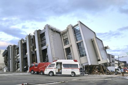

New Online Map Shows U.S. Flood Risk Considerably Higher Than Shown In Federal Data
A new virtual map unveiled this week provides a comprehensive and precise look at the risk of flooding across America through a free online tool called Flood Factor.
The website, developed by the First Street Foundation, a non-profit research and technology group based in Brooklyn, N.Y., allows users to look up the past and present flood risk at any U.S. property within the 48 contiguous states.
It shows a much higher risk of flooding around the country than previously assessed by government agencies like the Federal Emergency Management Agency (FEMA).
For decades, local governments and private companies have turned to FEMA mapping data as the legal standard to identify flood risk, price insurance premiums, and prepare for potential weather disasters.
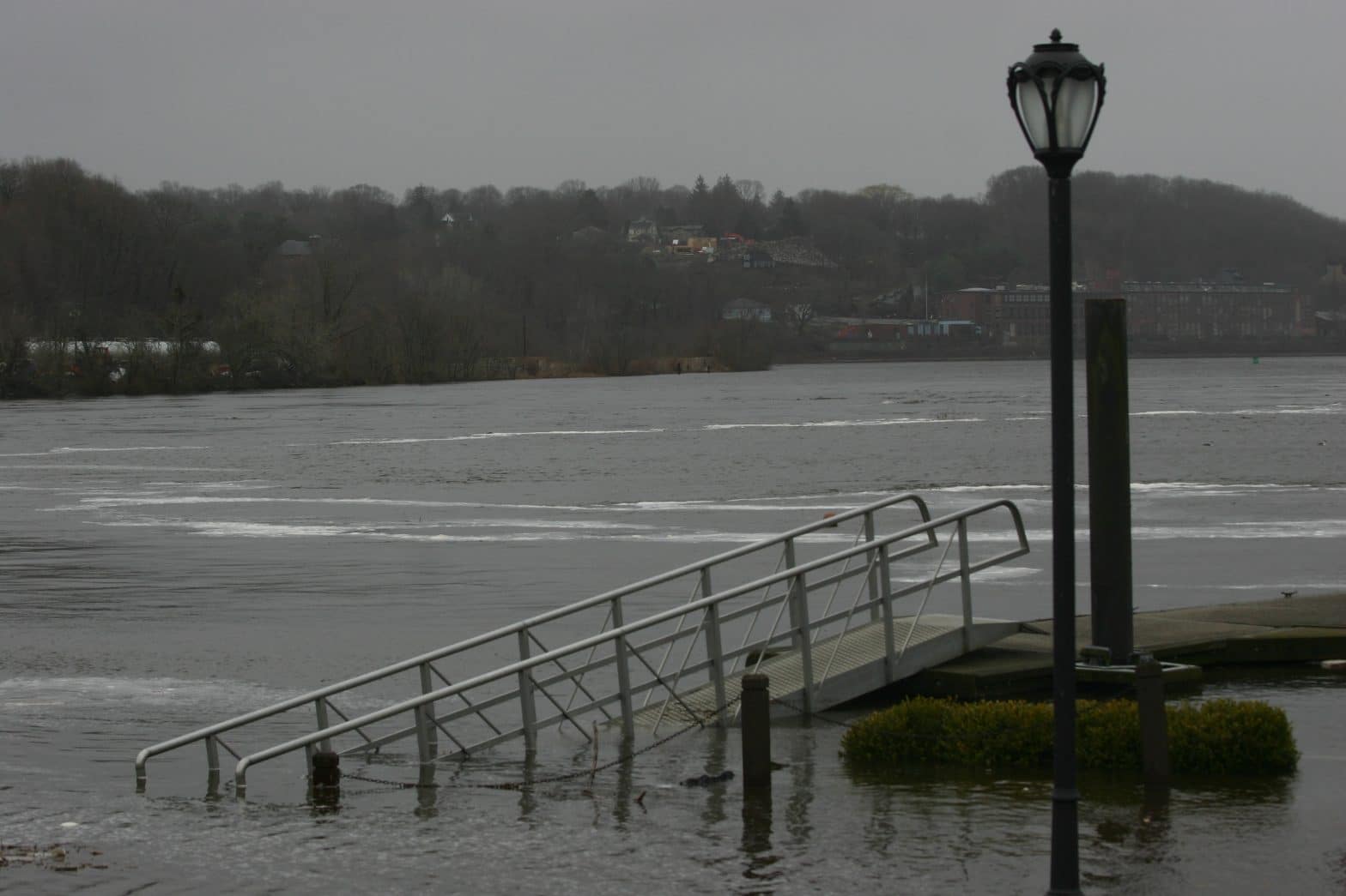
But the First Street map, which accounts for environmental threats like rising sea levels, rainfall, and the flooding of creeks and streams, shows that 14.6 million properties could be at risk of a 100-year flood, roughly 70% more than the 8.7 million properties estimated by federal data. A 100-year flood is a term for a flood with a 1% chance of happening any given year.
In other words, the new model indicates that nearly 6 million property owners may be unaware of the potential flood risk they face because their property isn’t identified in FEMA data.
“In environmental engineering, there is a concept called stationarity, which assumes that today is going to be like yesterday, and tomorrow is going to be like yesterday,” said Ed Kearns, First Street Foundation’s chief data officer in a statement on Monday. “This concept used to work, but with a changing environment it’s a poor assumption and no longer does. FEMA’s method assumes stationarity, First Street’s does not.”
In some areas, the new data showed a massive risk difference compared to the FEMA model, partly because First Street mapped places that had yet to be fully assessed.
For instance, the flood risk in Washington, D.C., and Utah is more than four times higher in First Street’s model than shown in federal data. Montana (311%) and Idaho (290%) also had large discrepancies.
Only three states — Arizona, New Jersey, and Louisiana — had a lower flood risk than measured by FEMA, though that risk increased when accounting for future environmental changes like sea-level rise.
According to the First Street model, the states with the highest number of properties at a “substantial” risk of flooding are West Virginia (24%), Louisiana (21%), Florida (20.5%), Idaho (14.8%), and Montana (14.2%). Meanwhile, Colorado, Maryland and Washington, D.C., have the lowest number of endangered properties.
Across the country, the number of properties at risk is expected to rise by nearly 11% by 2050 due to changing precipitation patterns, sea-level rise, and increasingly active hurricane seasons.
Louisiana is facing the most dramatic risk increase with a nearly 70% surge by mid-century.
The new model was developed over several decades as a partnership between First Street and researchers from Columbia University, George Mason University, Massachusetts Institute of Technology, Rutgers University and the University of California, Berkeley.