New Online Map Shows U.S. Flood Risk Considerably Higher Than Shown In Federal Data
July 2, 2020 by Gaspard Le Dem
New Online Map Shows U.S. Flood Risk Considerably Higher Than Shown In Federal Data
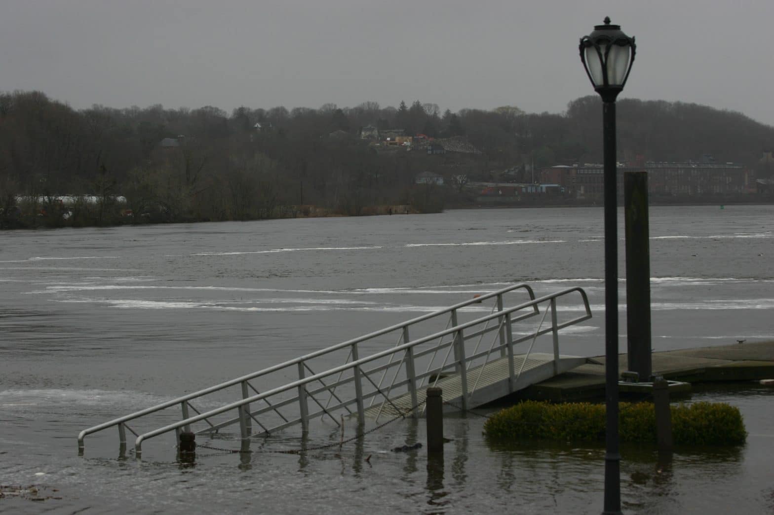
A new flood map reveals millions of U.S. properties are at a far greater risk of flooding than previously shown in federal data. (Photo: grendelkhan via Flickr)

A new virtual map unveiled this week provides a comprehensive and precise look at the risk of flooding across America through a free online tool called Flood Factor.

The website, developed by the First Street Foundation, a non-profit research and technology group based in Brooklyn, N.Y., allows users to look up the past and present flood risk at any U.S. property within the 48 contiguous states. 

It shows a much higher risk of flooding around the country than previously assessed by government agencies like the Federal Emergency Management Agency (FEMA).

For decades, local governments and private companies have turned to FEMA mapping data as the legal standard to identify flood risk, price insurance premiums, and prepare for potential weather disasters. 

But the First Street map, which accounts for environmental threats like rising sea levels, rainfall, and the flooding of creeks and streams, shows that 14.6 million properties could be at risk of a 100-year flood, roughly 70% more than the 8.7 million properties estimated by federal data. A 100-year flood is a term for a flood with a 1% chance of happening any given year.

In other words, the new model indicates that nearly 6 million property owners may be unaware of the potential flood risk they face because their property isn’t identified in FEMA data.

“In environmental engineering, there is a concept called stationarity, which assumes that today is going to be like yesterday, and tomorrow is going to be like yesterday,” said Ed Kearns, First Street Foundation’s chief data officer in a statement on Monday. “This concept used to work, but with a changing environment it’s a poor assumption and no longer does. FEMA’s method assumes stationarity, First Street’s does not.” 

In some areas, the new data showed a massive risk difference compared to the FEMA model, partly because First Street mapped places that had yet to be fully assessed.

For instance, the flood risk in Washington, D.C., and Utah is more than four times higher in First Street’s model than shown in federal data. Montana (311%) and Idaho (290%) also had large discrepancies.

Only three states — Arizona, New Jersey, and Louisiana — had a lower flood risk than measured by FEMA, though that risk increased when accounting for future environmental changes like sea-level rise.

According to the First Street model, the states with the highest number of properties at a “substantial” risk of flooding are West Virginia (24%), Louisiana (21%), Florida (20.5%), Idaho (14.8%), and Montana (14.2%). Meanwhile, Colorado, Maryland and Washington, D.C., have the lowest number of endangered properties.

Across the country, the number of properties at risk is expected to rise by nearly 11% by 2050 due to changing precipitation patterns, sea-level rise, and increasingly active hurricane seasons.

Louisiana is facing the most dramatic risk increase with a nearly 70% surge by mid-century.

The new model was developed over several decades as a partnership between First Street and researchers from Columbia University, George Mason University, Massachusetts Institute of Technology, Rutgers University and the University of California, Berkeley.

A+
a-

In The News

Health

Voting

Natural Disasters

Two Weeks of Winter Storms Kill Dozens and Cause Chaos in Parts of US

PORTLAND, Ore. (AP) — Two weeks of storms that have turned roads into icy death traps, frozen people to death from Oregon... Read More

PORTLAND, Ore. (AP) — Two weeks of storms that have turned roads into icy death traps, frozen people to death from Oregon to Tennessee and caused power outages that could take weeks to fix continued to sock both coasts with another round of weather chaos on Friday. The... Read More

Ice Storm Bears Down on Pacific Northwest as Other US Regions Battle Bitter Cold

PORTLAND, Ore. (AP) — Residents of the Pacific Northwest suffered more misery as an ice storm bore down Wednesday, threatening... Read More

PORTLAND, Ore. (AP) — Residents of the Pacific Northwest suffered more misery as an ice storm bore down Wednesday, threatening to turn mountain highways treacherous and zap power in bitterly cold temperatures. Much of the region was under an ice storm warning through the morning, promising... Read More

Powerful Earthquakes Leave at Least 55 Dead, Destroy Buildings Along Japan's Western Coast

WAJIMA, Japan (AP) — A series of powerful earthquakes that hit western Japan have left at least 55 people dead... Read More

WAJIMA, Japan (AP) — A series of powerful earthquakes that hit western Japan have left at least 55 people dead and damaged thousands of buildings, vehicles and boats. Officials warned Tuesday that more quakes could lie ahead. Aftershocks continued to shake Ishikawa prefecture and nearby areas... Read More

France's Macron Says Melting Glaciers 'Unprecedented Challenge for Humanity'

PARIS (AP) — Melting glaciers are an “unprecedented challenge for humanity,” French President Emmanuel Macron said on Friday, as he launched a... Read More

PARIS (AP) — Melting glaciers are an “unprecedented challenge for humanity,” French President Emmanuel Macron said on Friday, as he launched a call for nations to work together on slashing planet-warming emissions, protecting the environment and collaborating on scientific research into the Earth's icy ecosystems. Such a united... Read More

Some Houses Being Built to Withstand Hurricanes and Cut Emissions

When Hurricane Michael hit the Florida Panhandle five years ago, it left boats, cars and trucks piled up to the... Read More

When Hurricane Michael hit the Florida Panhandle five years ago, it left boats, cars and trucks piled up to the windows of Bonny Paulson's home in the tiny coastal community of Mexico Beach, Florida, even though the house rests on pillars 14 feet above the ground.... Read More

New England Braces for More Rain After Downpour Left Communities Flooded

LEOMINSTER, Mass. (AP) — More heavy rain was in the forecast Wednesday in New England, where residents were cleaning up... Read More

LEOMINSTER, Mass. (AP) — More heavy rain was in the forecast Wednesday in New England, where residents were cleaning up after downpours dropped nearly 10 inches (25 centimeters) of rain in six hours and flooded parts of Massachusetts and Rhode Island. The rainfall was a “200-year event," said... Read More

News From The Well
scroll top