


Boston Startup Says Ocean Salinity May Help Predict Extreme Rain Events
BOSTON — It is no secret that one of the main features of a changing climate is a dramatic reordering of the global water cycle.
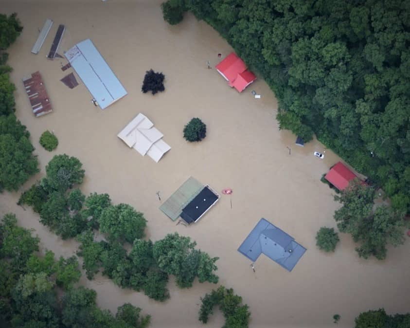
Droughts are becoming more plentiful in places once lush with greenery and epic rain events, like the one recently experienced in Kentucky, are becoming more frequent, more severe and more costly in terms of lost lives and property damage.
Now a Boston startup called Salient is looking to ocean salinity as a tool to help governments, emergency responders, and ordinary citizens respond to growing volatility in the natural world around them.
In a new paper published in the journal Geophysical Research Letters, Salient founder and president Dr. Ray Schmitt says “as the ocean is the ultimate source of all rain, its changing salinities have most clearly revealed the ongoing water cycle intensification.”
He goes on to note that in past research, he and his colleagues at Salient have described how ocean surface salinity variations can predict rainfall on land a season ahead.
“The idea is simple — if some area of the ocean gets saltier due to increased evaporation, that extra moisture export guarantees that it will rain more somewhere else,” he writes. “Similarly, a fresher than normal ocean indicates less moisture has been exported, so less rain will be available.”
Schmitt says source-sink relationships have been discovered for the U.S. East coast salinities in the spring and Midwest rainfall in the following summer.
“More recently, we have discovered that additional useful salinity predictors exist for Midwest summer rainfall even further afield,” he writes. “Certain patterns of salinity variations in the Western Tropical Pacific have been shown to significantly improve summer rainfall predictions in the Midwest, particularly for the most intense rain events.
“While we find that the summer moisture source for the upper Midwest is the Gulf of Mexico, the predictability supplied by the western tropical Pacific salinity pattern is related to tropical rainfall events that both inject latent heat energy into the atmosphere and create salinity anomalies,” he continues. “The injection of energy into the tropical atmosphere can generate standing waves in the jet stream at mid-latitudes that affect the storm track on the continental U.S.
“That is, while the Gulf of Mexico may be supplying moisture to the north flowing Great Plains Low Level Jet, the pattern of the peaks and troughs of the jet stream is important for sending in the fronts that wring the moisture out in heavy rain events,” he writes.
Though the paper obviously seeks to further Salient’s business as a seasonal and sub-seasonal forecaster, the science and logic behind it is intriguing.
Simply put: Surface salinity is a good indicator of the latent heat energy transfer from the ocean to the atmosphere, and when that energy is released into the tropically moist atmosphere, it sets up “waves” that gather in the mid-latitudes.
As a result, come summer, fronts tracking along the jet stream path wring the moisture out of the low-level flows carrying moisture northward from the Gulf of Mexico.
“There is a strong correlation between the tropical salinity features with the number of heavy rainfall days in the Midwest that can lead to the flash flooding observed this summer in Kentucky, Missouri, Illinois and West Virginia,” Schmitt writes, suggesting that grasping the import of such “nuggets of predictability” will be key going forward in anticipating the increasingly volatile weather we are experiencing.
Dan can be reached at [email protected] and at https://twitter.com/DanMcCue.