
America’s Broadband Mapping Crisis and How to Fix It
The Federal Communications Commission and Congress have long sought to map specific regions’ access to broadband services in order to help policymakers identify unserved areas.
The Broadband Data Improvement Act of 2019, introduced last week in the House of Representatives by Reps. Cathy McMorris Rodgers, R-Wash., and Tom O’Halleran, D-Ariz., is aiming to improve the data collection and broadband mapping techniques used to more accurately reflect coverage in rural areas.
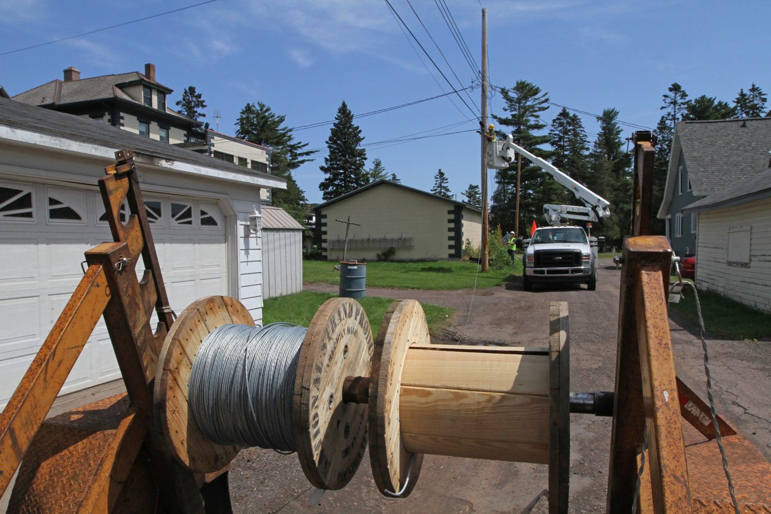
Too many rural communities currently do not have reliable access to broadband services and it is contributing to a growing information gap between different regions and communities. Experts and advocates say that the data collection techniques are central to the mapping discrepancies.
Currently, the FCC requires all providers of broadband Internet access to business, governmental, or residential users to file a form, Form 477, to tell the agency whether they provide that service within particular Census blocks.
This has led to an overly broad and inaccurate coverage map that does not provide decision-makers and consumers with the data they need. For example, if a provider has a single customer in a census block, the current map would identify the entire census block as being served. The result is too many areas without broadband are thereby excluded from receiving universal service funding.
Advocates of new broadband mapping techniques say that understanding where the gaps are in the coverage maps and closing the digital divide is critical for lawmakers and providers to allow economic prosperity to thrive in all communities.
Rep. McMorris-Rodgers said in the release, “One of the main challenges we face is having accurate data about what areas have access and where we need to improve. This legislation will revamp the broadband mapping process so that federal agencies and private industry are able to target improvements to the areas that need it most and finally bridge the digital divide in rural communities.”
The Universal Service Fund was first established in 1934 to subsidize telephone communications construction that was prohibitively expensive in rural areas. The Telecommunications Act of 1996 expanded the definition of communications and the FCC now “recognizes high-speed Internet as the 21st Century’s essential communications technology.”
There is widespread agreement that the current mapping is overly broad and inaccurate and needs to be improved to provide more granular information to help policymakers direct resources to areas that need it the most, those that are unserved.
Currently, there are multiple bills on the Hill prodding the FCC to adopt the use of GIS “shapefiles” that will better depict where broadband providers have built out their service networks. A shapefile is a popular geospatial mapping format for storing detailed location, shape and attributes of geographic feature data. Additionally, organizations like Connected Nation, and some of the nation’s largest broadband providers are pressuring for more accurate maps and data.
A Senate bill, introduced in May by Senators Shelley Moore Capito, R-W.V., Brian Schatz, D-Hawaii, Jerry Moran, R-Kansas, and Jon Tester, D-Mont., was one of the first bills to introduce shapefiles as a solution to the broadband mapping crisis.
Senator Capito said in a release, “Broadband and connectivity are essential to nearly every aspect of our lives today—education, health care, business—but too many rural communities in West Virginia and other states across the country are being left behind.”
Senator Schatz added, “Many Americans can’t access the internet, because they live in an area without fast and reliable broadband. But we can’t fix the problem if we don’t fully understand where it’s happening. The broadband data and maps we have today fall short.”
Carving out serviceable areas on a map could significantly improve the accuracy of existing coverage, particularly in larger census blocks where coverage is often overstated, according to experts and industry professionals. Using that information, locations that are unserved could be identified and government subsidies could be directed there.
Advocates say Form 477 data collection efforts pale in comparison to shapefiles and produce less informative data. Shapefiles, in fact, are easily producible by providers and numerous test pilots have been conducted in multiple states that have resulted in more accurate broadband coverage maps.
Steve Fuller, Sr. Manager GIS and Spatial Analytics for GeoTek, remarked, “The current FCC Form 477 data is a holdover from the NTIA’s Broadband Stimulus program that was created under the American Re-Investment Act of 2009. Both processes required a standard dataset to be used by all broadband providers, in this case census block boundaries from the US Census Bureau.
“Unfortunately, US Census Blocks can vary greatly in size from the inside of a round-a-bout to greater than 2 square miles. The current filing instructions require that if a provider can serve one home or business in a block, they are to claim the entire block as served. In urban areas this policy works quite well, however in rural areas this can significantly over-state a provider’s service area. This in turn prevents these rural areas from qualifying for RUS [Rural Utilities Service], USF [Universal Service Fund], and state line extension grant programs to provide high speed internet as they all reference the 477 deployment data to define served versus unserved areas.”
Currently, there are two ongoing pilot programs in Missouri and Virginia, pushed by a consortium of companies led by US Telecom called the Broadband Mapping Initiative, that are testing other methods to report broadband availability. When the pilot concludes later this year, its results will be shared with the FCC, but it is well understood that the current data collection methods using Form 477 are incomplete at best and are leaving too many Americans without broadband access.
Both the FCC and broadband providers have a vested interest in getting the most accurate information possible in order to expand broadband service to every American. The debate will continue over broadband mapping methodologies, but it is clear there is growing frustration over the current use of Form 477.