
Latest Draft of North Carolina’s New Congressional District Map Released
RALEIGH, N.C. — A draft of the North Carolina legislature’s latest take on a new congressional district map based on the 2020 census has made its debut on social media.
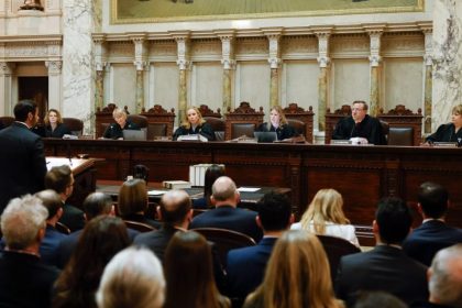
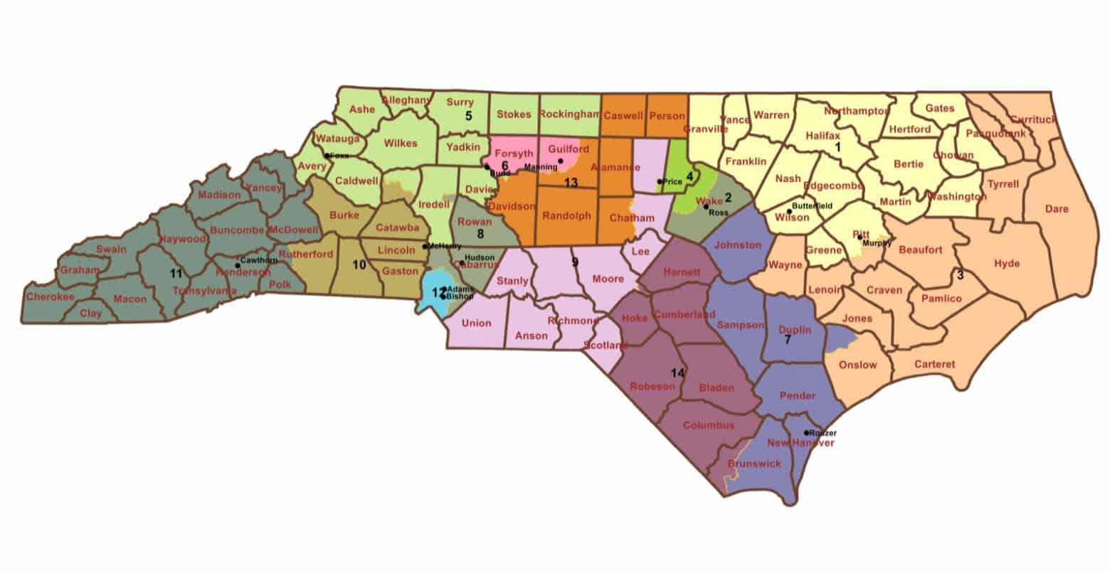
The map posted to Twitter by Rep. Destin Hall, the North Carolina House redistricting chairman, appears to solve some of the problems that inspired the state Supreme Court earlier this month to toss the original maps state Republicans had proposed.
For instance, it keeps the state’s three most populous counties — all of them around cities — whole, apparently addressing at least some of the court’s concerns about the previous map diluting the minority vote in the state.
The House map, however, is far from the last word on how the congressional districts will be configured.
Senate leader Phil Berger intends to release his chamber’s version of the congressional district map on Wednesday.
Both the House and Senate have already scheduled committee meetings to debate the maps Wednesday, with plans to pass the final product Thursday.
And even then, the North Carolina Supreme Court still has to weigh in. The court-imposed deadline for submitting the map to the court for review is Friday.
As it stands right now, the map posted by state Rep. Hall is something of a mystery. He did not post a link to any underlying data that would allow it to be analyzed for factors like how many seats each political party could be expected to safely win and how many seats might be competitive.
One thing the proposed state House map does is largely restore three districts currently represented by Democrats: Reps. Kathy Manning, Deborah Ross and the retiring Dave Price.
All three districts had been sliced and diced in the earlier map, and for now, at least, are largely whole.
Dan can be reached at [email protected] and at https://twitter.com/DanMcCue.